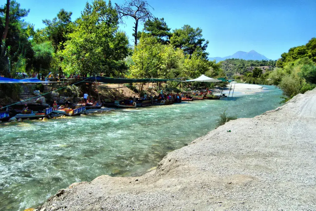
Photo: Angela Stefanoni / Wikimedia Commons, CC BY 3.0
The Lycian Way
A waymarked coastal trail of about 760 km, opened in 1999, from the Blue Lagoon of Ölüdeniz to the edge of Antalya through the land of ancient Lycia.
Overview
For hundreds of kilometers, a narrow waymarked path follows the coast of ancient Lycia, from the beaches of Ölüdeniz to the edge of Antalya. Along the way it climbs over mountain passes, drops into hidden coves, passes through olive groves and pine forests and leads past rock tombs, Roman theaters and the eternal flames of the Chimaera. The Lycian Way is a long-distance trail along this coast, with the sea in view for much of the way. To see this coast by car, with short walks, join our Lycian coast tour in 6 days.

The trail runs from Ölüdeniz toward Antalya over passes, coves and Roman ruins. Some sections make an easy day walk, while others mean a hard week with a pack, unless you walk them on our Lycian Way trek, with your luggage in our car. Our hiking tours in Turkey include a guided day on the Lycian Way. Spring and autumn are the seasons for it, and water is still the main thing to plan around. Choosing one? Read the Lycian Way or a blue cruise.
- Good for
- Walkers, nature lovers, history lovers
- Best combined with
- Ölüdeniz, Patara, Kaş, Kekova, Olympos
The Lycian Way at a Glance
The Lycian Way is a waymarked long-distance trail in southwestern Türkiye. It starts at Ovacık near Hisarönü, just above Ölüdeniz and Fethiye, and ends at Geyikbayırı near Antalya. Today the waymarked route runs about 760 kilometers (472 miles), a walk of about 35 days. Kate Clow, a British-Turkish amateur historian, researched, designed and waymarked it in 1999 as Türkiye’s first long-distance walking route, and her Culture Routes Society publishes its route updates.
The Lycian Way in numbers
- ~760 kmthe waymarked route, Fethiye to Antalya (472 mi)
- 1999Kate Clow waymarks the trail
The Lycian Way on the map
Highlights along the Lycian Way
- 1. Ovacık / Ölüdenizthe start, above the Blue Lagoon
- 2. Faralyacliff villages above Butterfly Valley
- 3. Letoonsanctuary of Leto, UNESCO site
- 4. Xanthoscapital of ancient Lycia
- 5. Pataraa long beach of dunes
- 6. Kalkanharbor town of white houses
- 7. Kaşrock tombs and a Lycian theater
- 8. Kekovathe sunken city
- 9. Myra (Demre)rock tombs and Saint Nicholas
- 10. Olymposruins in a river valley
- 11. Chimaera (Yanartaş)flames from the rock
- 12. Phaselisthree ancient harbors
- 13. Geyikbayırıthe end, near Antalya
An Ancient Coast, a Modern Trail
The land of the Lycians
In antiquity, this coast was Lycia, home to a people with their own language and a league of cities that elected a common assembly. They are remembered above all for their tombs, carved into cliffs like the façades of houses or raised on pillars above the ground. Along the trail, you meet these tombs again and again, especially in places that only a walker reaches.
Old roads, new trail
Much of the Lycian Way follows ancient roads and the mule paths that linked mountain villages until modern roads arrived. In the 1990s, Kate Clow researched these old roads and paths, and in 1999 she waymarked them as one trail, made to identify and protect some of Türkiye’s old roads. Today an ultramarathon also runs along part of it.
Highlights Along the Lycian Way
The first stage: Ölüdeniz to Faralya
The trail begins above Ölüdeniz and then climbs along the flanks of Babadağ toward the cliff village of Faralya. The views down over the sea and Butterfly Valley are spectacular, and old cisterns under olive trees recall the farmers who once lived here. By sea, our Fethiye to Olympos blue cruise stops in Butterfly Valley.
Coastal headlands and wild flowers

Between villages, the path crosses open headlands high above the water. In spring the hills are full of flowers, while in autumn wild cyclamen appear among the stones. Often the only sounds are goat bells and the sea.

Xanthos, Letoon and Patara
In the west, the trail passes three great ancient sites. Xanthos was the capital of Lycia, while nearby Letoon was its religious sanctuary; together they form a UNESCO World Heritage Site. Patara, by tradition the birthplace of Saint Nicholas, lies behind a long beach backed by high sand dunes.
Kaş and Kekova

In Kaş, a Lycian sarcophagus stands in the middle of a street, and a small ancient theater looks out to the Greek island of Kastellorizo. Further east, around Kekova, the ruins of a town that sank in ancient earthquakes lie under the clear water. Walkers often take a boat here to see them from above. For your own boat, see our Fethiye Kekova gulet charter.

The Chimaera and Mount Olympos

Near Çıralı, natural gas seeps from the rocks of a hillside and burns day and night. Since antiquity, people have linked these flames with the Chimaera, the fire-breathing monster of Greek myth. Walk up after dark, when the flames glow among the stones. Nearby, the ruins of Olympos lie in a green river valley, and the great mountain of Tahtalı Dağı rises above the coast.
Phaselis

Finally, near the end of the trail, the ancient city of Phaselis spreads over a small peninsula with three harbors. Its Roman theater looks up at Tahtalı Dağı, while a paved street runs between pine trees to the sea.
Sleeping and Eating in the Villages
Village guesthouses and campsites
Along much of the trail, walkers stay in small village guesthouses (pansiyon), where families serve dinner and breakfast, or camp in simple sites by the sea. For many walkers, these evenings with village families are the best memories of the Lycian Way. Book ahead in spring and autumn, and carry some cash, since not every village has a cash machine.
- Village breakfasts: eggs, olives, cheese, honey and bread before a day on the trail.
- Gözleme: thin griddle flatbreads, a classic trail lunch when a village is on your route.
- Fresh fish: in harbor towns such as Kaş and Kalkan.
- Water: carry plenty, because springs and cisterns are not always reliable.
Our notes for the Lycian Way
- Faralya to KabakA short cliff-top stage high above Butterfly Valley, ending in a green bay with simple camps.
- Üçağız to KaleköyAn easy walk past Lycian tombs to the castle village of Simena, facing the sunken city of Kekova.
- Gelemiş to KalkanFrom the dunes of Patara over the hills to the white harbor town of Kalkan.
- WaymarksPainted on rocks and walls, they show the way. Lose them, and turn back to the last one you saw.
- CashMany villages have no cash machine, so carry enough for guesthouses and gözleme stops.
Our suggestion You do not have to walk all of it. Pick two or three of the short stages below, sleep in village guesthouses, and let a driver move your bags between them, so you walk with only a day pack.
Walking in spring or autumn is best, because summer heat on the open slopes is hard work. Our outdoor adventures team can plan the stages, book the guesthouses and arrange the bag transfers for you.
How to Walk the Lycian Way
When to walk the Lycian Way
Spring and autumn are the best seasons, since summer heat on the open slopes is hard. In spring the hills are green and full of flowers, though high passes may still have snow; October and November bring warm sea water and cooler walking weather. In summer, by contrast, Lycia is too hot for long walks, so walk only short, early sections. For another long route further west, try the Carian Trail, which opened in 2013.
Local tips for the Lycian Way
- Start with a day walk: Ölüdeniz to Faralya, or a section around Kaş, gives a taste of the trail before you commit to more.
- Follow the waymarks; where local trail networks join the route, you may also see red and yellow signs.
- Carry more water than you think and a hat; shade is limited.
- Use a recent guidebook or app, because landslides and new roads sometimes change the route. For the app, we can set up a data eSIM with your booking.
For a wilder inland walk, try the St Paul Trail from Perge to Lake Eğirdir.
Because it is the most beautiful way to meet the Lycian coast: on foot, in silence, from one village to the next. Walk the first stage above Ölüdeniz at dawn, sleep in a family guesthouse, find rock tombs only walkers reach and climb to the Chimaera's flames after dark.
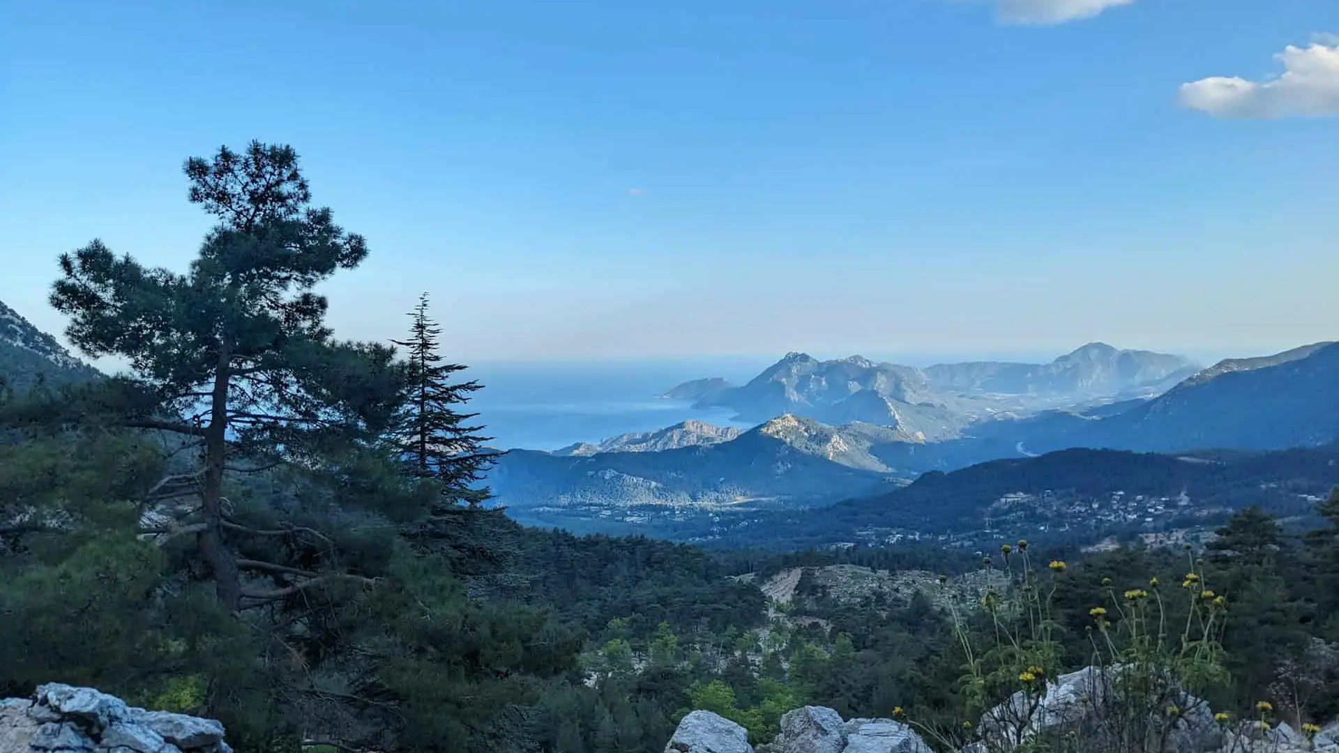
Map
Open in Google Maps (opens in a new tab) Open in Apple Maps (opens in a new tab)
Gallery
Frequently asked questions
Where does the Lycian Way start?
At Ovacık near Hisarönü, just above Ölüdeniz.
When is the best time to walk the Lycian Way?
Spring and autumn, from February to May or from September to November; summer is too hot for long sections.
Can I walk just part of the Lycian Way?
Yes. Day walks such as Ölüdeniz to Faralya or sections around Kaş are popular.
How is the Lycian Way marked?
It is waymarked along its length; where local trail networks join it, you may also see red and yellow signs.